The great Skyline adventure: Hawaiʻi Appleseed tests the walkability of areas around rail stops
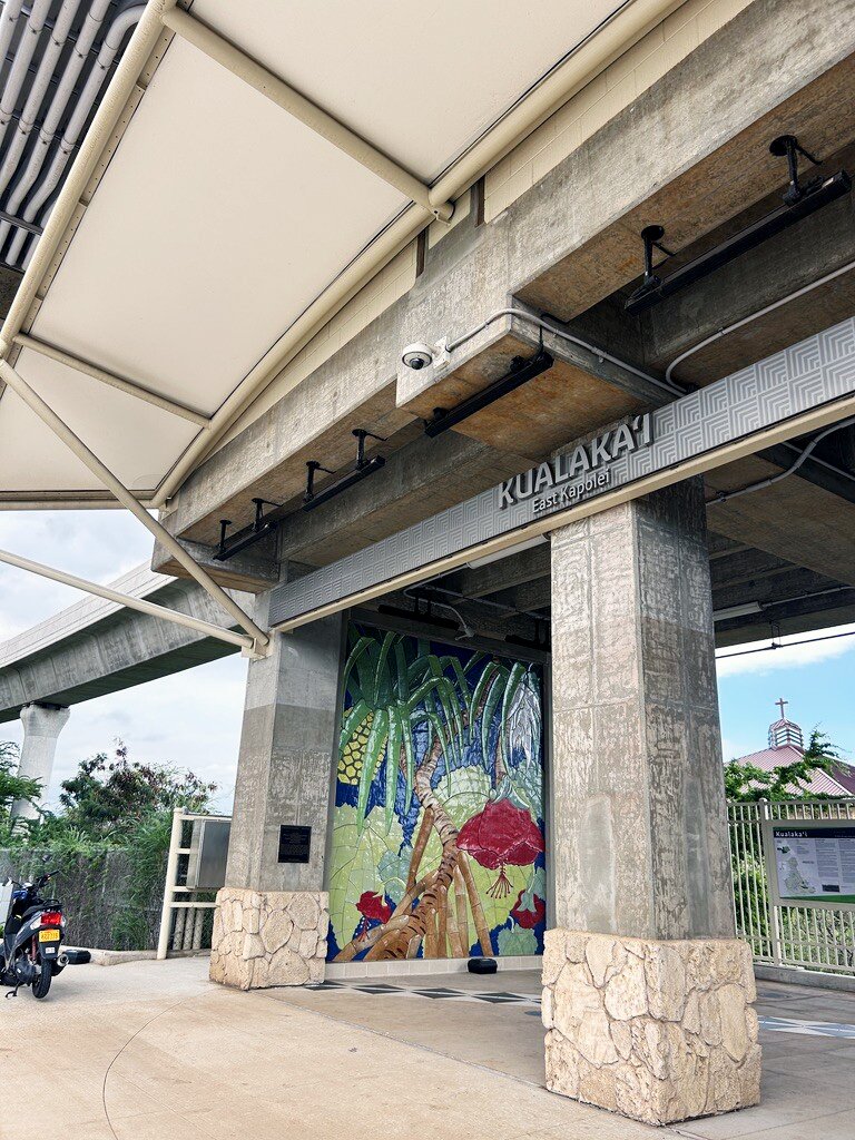
The first weekend of the new year the Hawaii Appleseed team went on a Honolulu Skyline field trip to understand in real time the land-use around our rail stations. Our team met at the first station—East Kapolei—and traveled eastward getting off at each stop and walking 10–15 minutes in a different direction to see what the neighborhoods were like.
We took cue from the American Planning Association as well as the Environmental Protection Agency’s “Smart Growth” guide to understand what “good land use” means in the context of Transit-Oriented Development (TOD). Does the land use accomplish the following goals?
Boost Transit Use: Make transit convenient, attractive, and a better option than driving.
Create Vibrant Places: Develop neighborhoods with a diversity of building forms and uses and diverse communities.
Foster Walkability & Cycling: Prioritize pedestrians, cyclists, and alternative transportation modes outside of individual cars safely and comfortably.
Increase Housing Options: Offer diverse housing types, including affordable housing, near transit.
Promote Economic Health: Support local businesses and create economic opportunities.
Reduce Car Dependency: Lessen reliance on private vehicles, leading to less traffic and emissions.
Enhance Equity & Accessibility: The community is accessible to people of all ages, incomes, and abilities.
We were looking for things like ease of walking from station to store front, types of housing in the area, comfortability of the walk (shade, room on the sidewalks, street trees, bicycle lanes), and what kinds of stores and services were around.
Our excursion produced two basic findings:
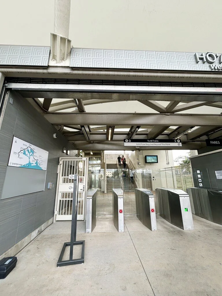
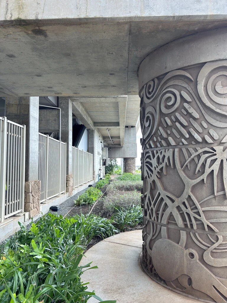
The Skyline itself is timely and clean, and the exit and entrance of Skyline stations were well-connected to a bus line.
The surrounding land use, on the other hand, was challenging and at times frustrating to navigate.
The Walkabout
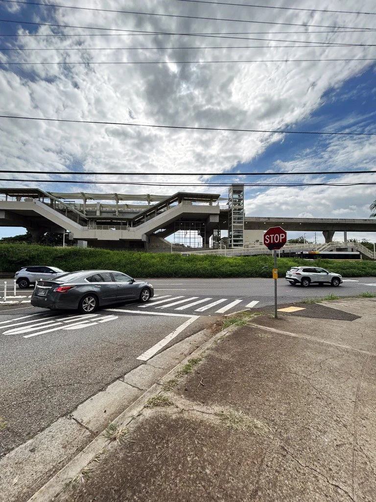
The first three stations (from East Kapolei to Hoʻopili) were largely green-field development, which means there was no housing before they were built. The roads, sewage, housing, sidewalks, water, and infrastructure were all put in brand new. The sidewalks are wide, but there is no tree cover; the bike lanes are narrow, painted, and have cars parked in them.
The first stop is a mile away from the existing shopping mall of Ka Makana Aliʻi, and the walk to get there is along a parkway that functions as a highway. There is no tree cover, and while there is a bus line, there is no park and ride. The surrounding land use is private and closed off to the public: a private recreation center, homes, a school, but no place for businesses.
What made this disconnect frustrating is that the Skyline itself works. On our outbound trip, it took just 20 minutes to get from the Hālawa Station to the beginning of the line—fast, reliable, and competitive with driving. The Skyline shows what’s possible when we invest in high-quality transit. What’s holding it back isn’t the train, it’s the land-use decisions around it.
On the flip side, where Skyline passes through pre-existing urban areas, the gaps in pedestrian infrastructure are egregious. Wide, fast-moving roads, and uncertainty about projects being able to pencil out continue to slow progress in creating a truly multimodal experience. While existing urban areas along the rail line do have better access to stores, housing and services, the mobility paradigm here is still centered around cars. The government needs to fully commit to investing in walkable, bikeable infrastructure around Skyline.
Toward A Multimodal Future
The City and County of Honolulu has taken meaningful steps in the right direction, like reducing parking requirements within TOD zones. Much of the land directly surrounding the stations has been zoned for mixed-use development. On paper, these station areas are intended to support housing, businesses, and daily needs within walking distance of the rail. In reality however, we are seeing mixed results.
That’s because zoning alone doesn’t build neighborhoods—it merely enables or disables their creation. Mixed-use entitlement has not yet translated into lived, walkable places, and much of the land remains underutilized.
Low density limits near stations, lack of cohesive mixed-use entitlements across the area, parking minimums, restrictive setbacks—these are all poison pills that we need to address not just around the Skyline but in every county where we want to encourage increased housing near transit. We need to make certain that our policies around land use center people, not cars.
Success of TOD will require partnership across state and county lines, but the goal is shared: turning the areas around rail lines and high capacity bus routes into places where people can live, work and meet daily needs without the necessity of getting back into a car.
Two bills this session will move us in that direction:
HB1739: Prohibits counties from downzoning or implementing other land-use controls that would limit or prohibit transit supportive density in TOD areas.
HB1701: Allows developers in TOD zones to create the amount of off-street parking that makes the most sense for their project, rather than mandating a required minimum amount.
If we want TOD to succeed, we need to align state and county policies to provide clear, consistent expectations for development near transit. We need proper investment in sidewalks, crossings, shade, and safety, so people can actually reach stations on foot. We need to ensure land-use rules support both the density and the mix of uses that make TOD financially and socially viable.